Syed Akbar
Hyderabad: Scientists at the city-based National Geophysical
Research Institute have developed a methodology to pinpoint the ground
water potential in rocky areas. A large portion of area in and around
Hyderabad is a hard rock terrain and ground water is trapped in
fractures of the bed rock.
The NGRI team utilised geospatial and geophysical techniques to
develop the model for assessing ground water potential. The
methodology has been successfully demonstrated in Maheshwaram
watershed in the city outskirts. Whether ground water is available in
a given rocky terrain and if so to what extent can be found out using
the NGRI system.
It will help people easily identify suitable locations for ground
water withdrawal. The demand for ground water in Hyderabad and
neighbouring Rangareddy district has increased in the recent past
thanks to scanty rainfall, rainwater runoff, and largescale
urbanisation and industrialisation of the region.
NGRI team comprising Dr Shakeel Ahmed, Ms Mehnaz Rashid and Mr Mahjoor
Ahmed Lone developed the methodology by integrating a number of
important indications of ground water like soil structure, rain water
drainage density, aquifer resistivity and thickness, and the pattern
of land use in the area.
"The results reveal that the area falls in four ground water potential
zones ranging from poor to very good. The poor zone is indicative of
the least favourable region for ground water prospecting, while the
good to very good zone indicates the most favourable region," the
scientists noted.
It is a foolproof system that can be adapted in any part of the globe.
In fact, the NGRI's work serves as a guideline for further research on
complex terrains all over the world. According to the scientists, the
methodology based on the GIS can be utilised for sustainable
management of ground water resources in any area for artificial
recharge.
The team utilised the data from the Indian remote sensing satellite,
Resourcesat-1, and other remote sensing and geophysical information.
It is also an effective tool for identifying ground water potential in
diverse hydrogeological terrains.
The ground water resources in the country are depleting fast and in
certain regions it is as high as four cm per year. In Hyderabad and
surrounding areas the thickness of the top layer of the soil is
between 0.1 and 4.1 metres. Below is the weathered granite with
thickness going up to 35.7 metres. The third layer is highly fractured
granite ranging between 0.3 metres and 31 metres. Ground water is
trapped in these fractures.
Subscribe to:
Post Comments (Atom)
Mother's Care

Minnu The Cat & Her Kittens Brownie, Goldie & Blackie
Someone with Nature
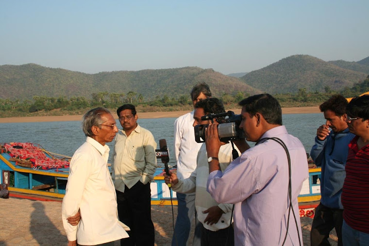
Syed Akbar in an island in river Godavari with Papikonda hills in the background
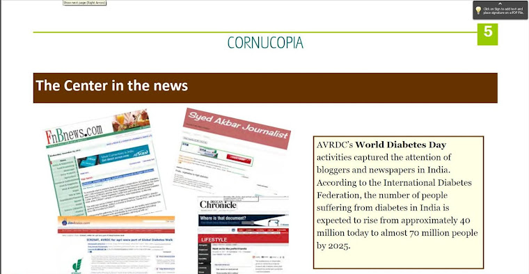
Recognition by World Vegetable Centre
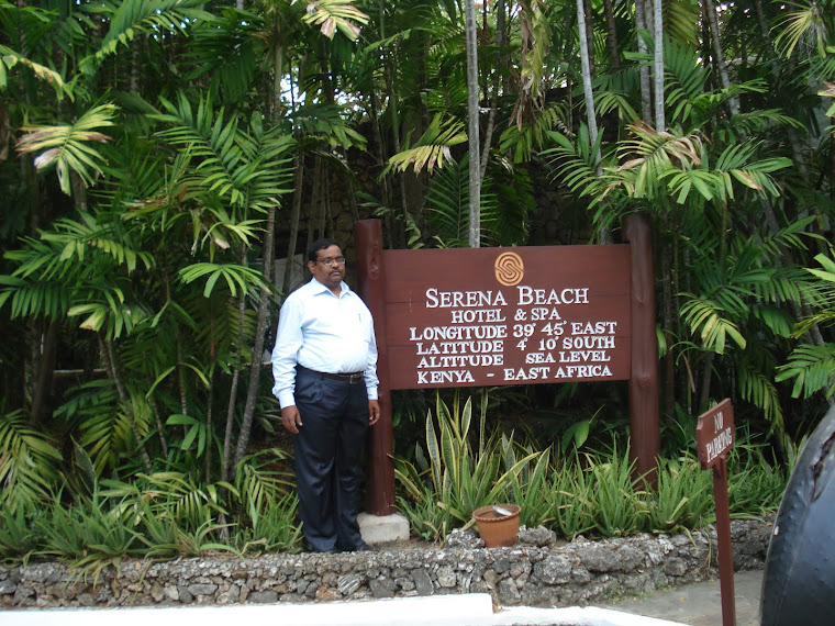
Under the shade of Baobab tree

At Agha Khan Akademi in Kenya
Gateway to the Southern Hemisphere
Convention on Biodiversity
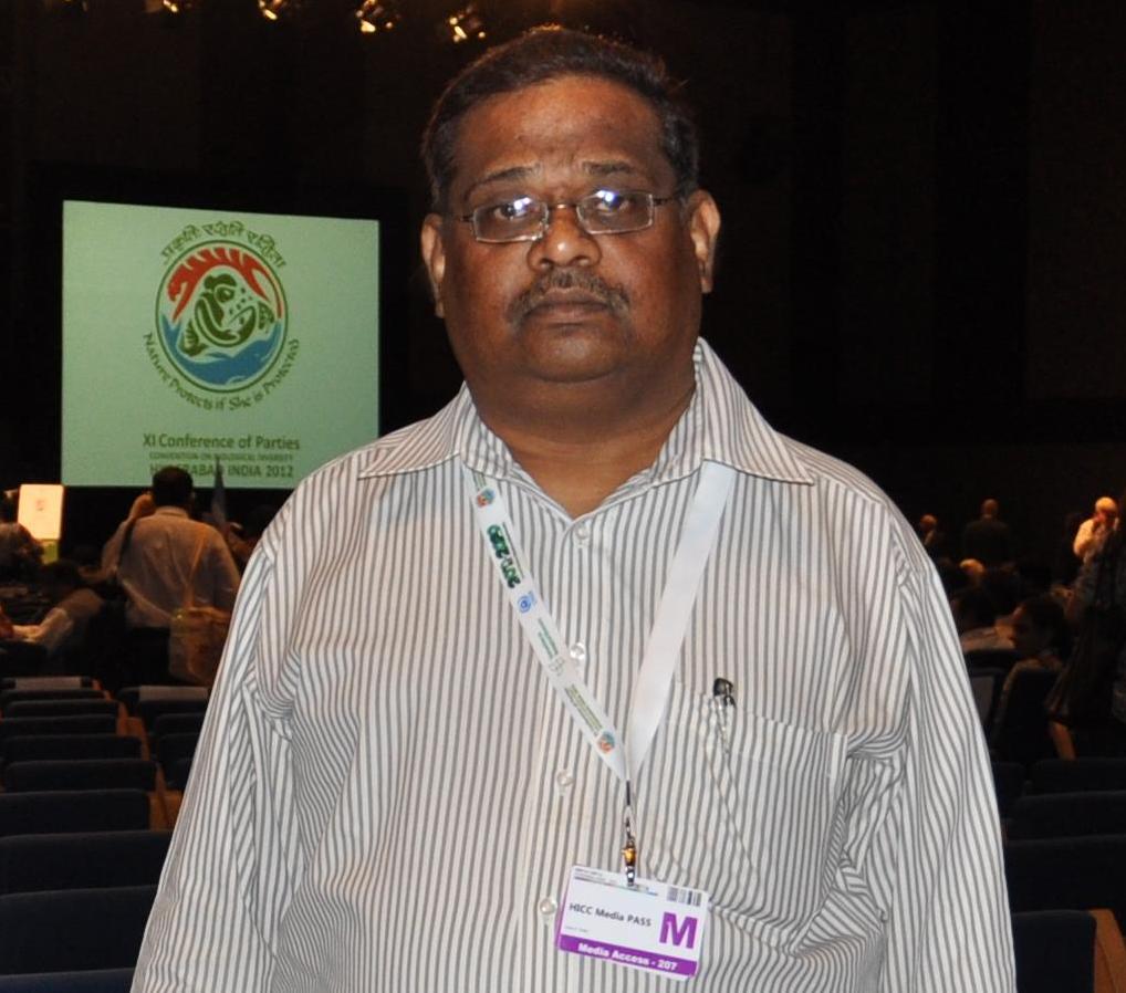
Syed Akbar at the 11th Conference of Parties to the United Nations Convention on Biological Diversity
No comments:
Post a Comment