Syed Akbar
Hyderabad, July 25: Coastal belt will now be more protected from tsunamis and cyclonic floods as the city-based Indian National Centre for Ocean Information Services (Incois) is all set to come out with multi-hazard vulnerability maps that pinpoint the exact areas to be submerged in case of natural calamities.
"We know that coastal areas are vulnerable to tsunamis, cyclonic floods and storm surges. But we do not know what are the areas that will be submerged. Using the latest digital technology we are now mapping the entire coastal belt. This will help us know the exact localities that will be affected in case a natural
disaster hits the coast. Using the maps, we can take precautionary and safety measures to prevent loss of life," said Incois scientist Dr RS Mahendra.
He said Incois is now ready with maps of Tamil Nadu and Andhra coasts. Incois is now busy securing data on the coastline of other States and once the process is completed, the high digital elevation model maps will be available for use. The maps will be on a resolution of 1:1,00,000 scale and will focus on all
vulnerable areas.
In case of highly vulnerable areas along the coast with high population density, Incois will come out with special 3-D GIS maps, which will be even more accurate and highly informative. The mapping will consider all coastal hazards arising from seal level rise, coastal erosion, wave action, storm surges and tsunamis.
In Andhra Pradesh the highly vulnerable areas are the Krishna and the Godavari delta. Coastline between
Machilipatnam and Nellore is mostly low-lying and is vulnerable to oceanogenic hazards. In case of Machilipatnam town there's no elevated areas. "The exact area and the population to be affected on the
coastline will be known once the maps are ready. For instance, in case of Nellore district 1708.36 sq km area fall under multi-hazard zone," he said.
The Incois team used parameters like historical storm surge heights, future sea level, future shoreline and high resolution coastal topography to identify vulnerable areas. The coastal population is under threat due to future storms, erosion and accelerated sea level rise. "The Incois maps will become vital tools
for coastal disaster management during an event and to take suitable decision on the future developments," Dr Mahendra added.
Subscribe to:
Post Comments (Atom)
Mother's Care
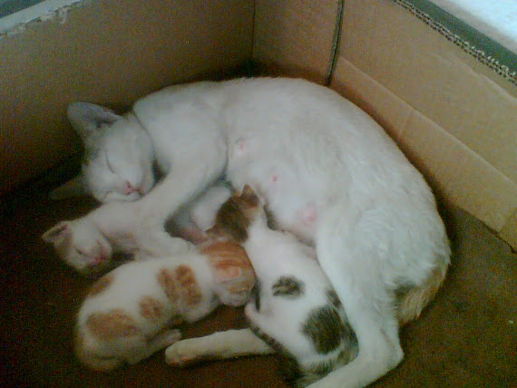
Minnu The Cat & Her Kittens Brownie, Goldie & Blackie
Someone with Nature
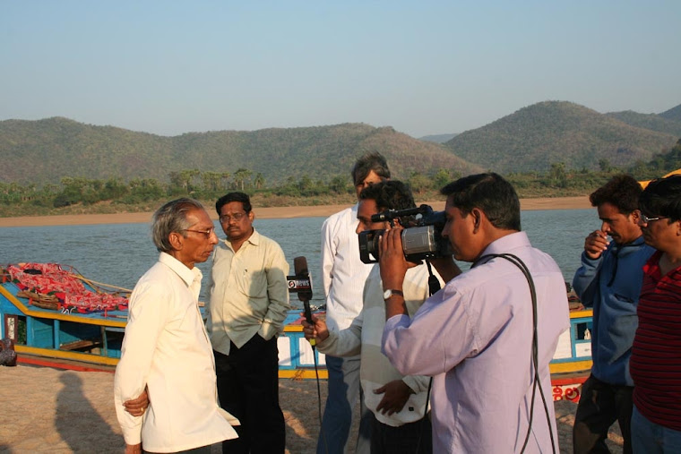
Syed Akbar in an island in river Godavari with Papikonda hills in the background
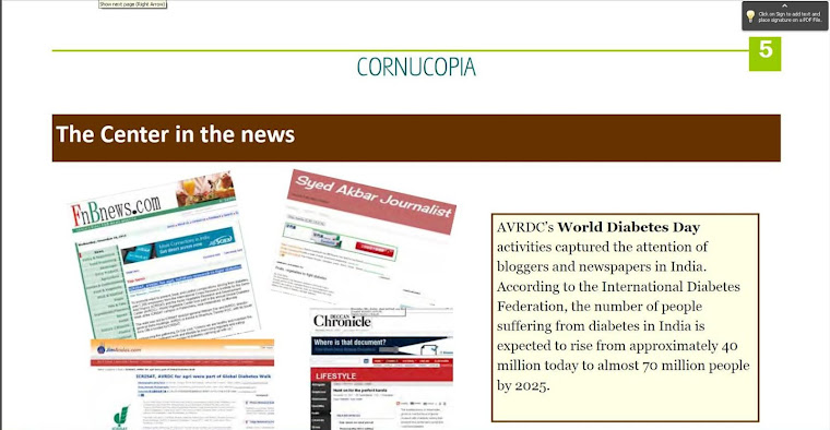
Recognition by World Vegetable Centre
Under the shade of Baobab tree

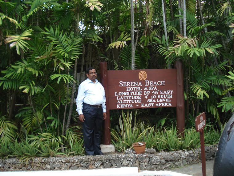
At Agha Khan Akademi in Kenya
Gateway to the Southern Hemisphere
Convention on Biodiversity

Syed Akbar at the 11th Conference of Parties to the United Nations Convention on Biological Diversity
No comments:
Post a Comment